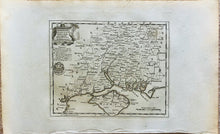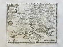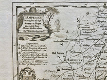
This stunning antique map dates from 1786 and is entitled 'Hampshire Drawn from the Best Surveys & Maps Corrected from Regulated by Astronl Observations By T. Kitchin Geographr.'
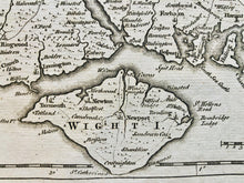
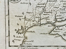
It's a copper-plate engraved county map of Hampshire by the renowned cartographer Thomas Kitchin. It includes detail of place names, roads and some topographical features. It also includes a decorative title cartouche and a distance scale.
It is very suitable for mounting and framing and would make a beautiful addition to any home or workplace.
Size: the printed area measures approx 21.5cm x 17.3cm with generous margins beyond; blank verso.
Provenance: 'The Antiquities of England and Wales', by Henry Boswell, published by Alex Hogg, London, 1786.
Condition: Excellent condition. Light age toning.


